Auckland
Spencer Street, Auckland — urban subdivision scheme plan.

Land Surveyor — Central North Island & beyond
Quality Land Surveyors in the Central North Island and further afield. Subdivisions, boundary locations, topographical surveys and resource consents across Ohakune, Raetihi, Taihape, Whanganui, Palmerston North and beyond.
Foresight Surveying Ltd offers land surveying services almost anywhere in the North Island. Established in 2021 by Michael Proude, a Licensed Cadastral Surveyor with experience since 2004, we work closely with our clients to achieve cost-effective and timely results. We are happy to travel to your location — get in touch with us today.
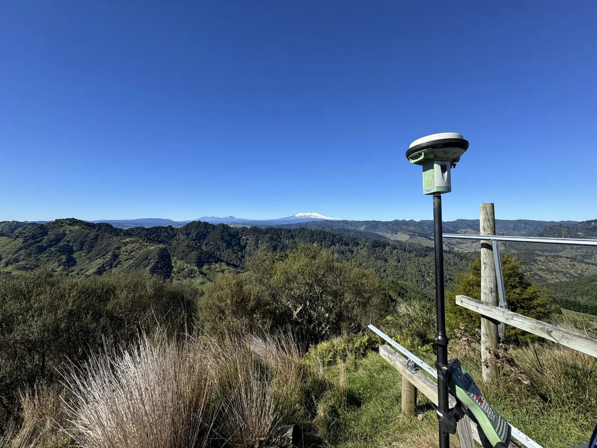
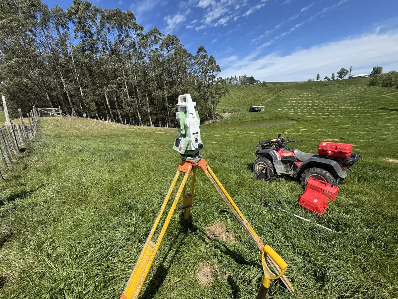
We use Leica GPS, Leica Total Station, Leica Digital Level to deliver accurate, professional results. While we mainly deal with urban and rural subdivisions, we are open to any job no matter how big or small.
We also offer engineering set outs and as built surveys alongside our core surveying services.
Rural and urban subdivisions, from concept and scheme plans through to new titles.
Learn more →Accurately locating and re-pegging your legal property boundaries.
Learn more →Detailed site surveys capturing levels, contours and features for design.
Learn more →Preparing and lodging resource consent applications with your local council.
Learn more →Survey plans that define and register QEII National Trust open space covenants.
Learn more →Foresight Surveying Ltd was established in 2021 by Michael Proude. Michael is a Licensed Cadastral Surveyor and has been working in the surveying industry since 2004, when he graduated from Otago University with a Bachelor of Surveying with Honours.
Michael worked in Wellington and Ohakune from 2004–2008, then spent eight years with Rio Tinto in Australia before returning to New Zealand permanently in 2016 to continue practising as a Licensed Cadastral Surveyor.
We have completed jobs from Auckland in the north to Masterton in the south, including Taumarunui, Whanganui, Ohakune, Raetihi, Taihape, Marton, Feilding, Palmerston North and Dannevirke.
See all areas we serve →The team at Foresight Surveying Ltd works closely with the client to achieve cost-effective and timely results. While mainly dealing with urban and rural subdivisions, we are open to any job no matter how big or small. Please contact us to discuss your proposal and how we can assist.
Auckland · Central Hawke's Bay · Horowhenua · Manawatū · Masterton · Palmerston North · Rangitīkei · Rotorua Lakes · Ruapehu · Tararua · Taupō · Waipā · Waitomo · Whanganui
A selection of recent scheme plans and title plans completed across 31+ towns in the Central North Island.
Spencer Street, Auckland — urban subdivision scheme plan.
Bulls, Rangitīkei — easement title plan survey.
Melrose Station, Dannevirke — rural subdivision scheme and title plans.
Ridge Road, Feilding — subdivision scheme and title plans.
Marokopa, Waitomo — coastal subdivision scheme and title plans.
Marton, Rangitīkei — subdivision title plan.
Puketawa, Masterton — rural subdivision scheme and title plans.
Mohakatino, Mokau — QEII open space covenant title plan over a 51-hectare block.
Ohakune, Ruapehu — Hammond subdivision scheme and Makotuku title plans.
Palmerston North, Manawatū — subdivision title plan.
Parihaka, Taranaki — QEII open space covenant title plan over the Parihaka 11C2B2 Block.
Birchler, Pohangina — rural subdivision scheme and title plans.
Ballance Street, Raetihi — subdivision scheme and title plans.
Turakina Valley Road, Taihape — rural subdivision scheme and title plans.
Kawautahi Road, Taumarunui — rural survey scheme and plan sheets.
Tokomaru, Manawatū — Morgan subdivision scheme and title plans.
Morgans Road, Turakina — rural subdivision scheme and title plans.
Waimarino, Tongariro National Park — site plan survey.
Blackburn Road, Waipukurau — rural subdivision scheme and title plans.
Kowhainui Drive, Whanganui — QEII open space covenant title plan.
Muir Street, Whanganui — subdivision scheme and title plans.
We work almost anywhere in the North Island and are happy to travel to your location. Get in touch to discuss your project — no job too big or small.