
Our Services
Topographical Surveys
A topographical survey captures the shape and features of your land — contours, levels, existing structures, services and vegetation — to provide architects, engineers and designers with an accurate base plan to work from.
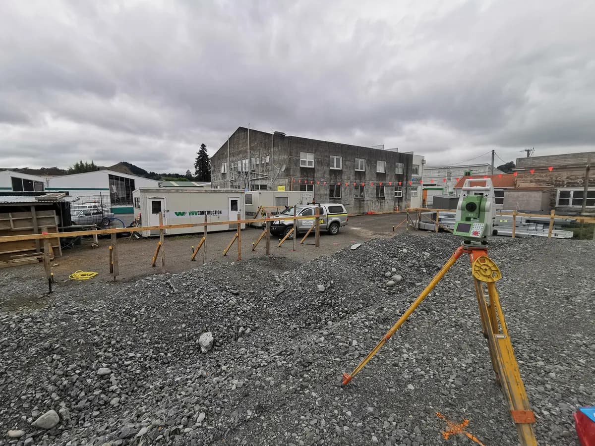
Topographical (or 'topo') surveys record the natural and built features of a site in three dimensions. We capture spot levels, contours, buildings, fences, driveways, drainage, power and other detail relevant to your project using Leica GPS, total station and digital level equipment.
The resulting plan gives your designer or engineer the accurate, detailed base they need for building design, drainage and earthworks, and resource consent applications.
Topographical Surveys: Frequently Asked Questions
- What does a topographical survey include?
- Typically ground levels and contours, existing buildings and structures, fences and boundaries, driveways, services such as power and drainage where visible, and significant vegetation — tailored to what your designer needs.
- Will my architect or engineer need this?
- Most building and engineering design work starts from an accurate topographical survey. It is usually one of the first steps before design begins.
Contact us for a quote for your project
We work almost anywhere in the North Island and are happy to travel to your location. Get in touch to discuss your project — no job too big or small.